Course Description
An investigation into how information can be acquired to analyze spatial patterns through the use of disciplinerelated data, aerial photography, satellite imagery, GPS, and a strong emphasis on Geographic Info. Systems (GIS).
How this course affects my field of interest:
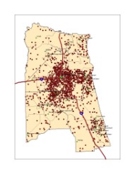
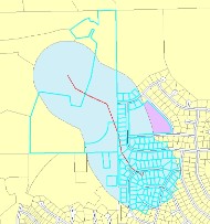
Currently I have been focusing my interests on urban planning. Goespatial Technology is important in the field of urban planning because it provides athe best way to visually analyze data in order to make important decisions. This technology helps determine where emergency services shouls be located, where new roads are needed, and where the best location is for a new home, factory, or shopping center. This tecnology has been used in the field of urban planning for many years and it has become nearly impossible to function without it.